Nakama River Nature Reserve Area ー
仲間川天然保護区域
- Mountain View
- Outdoor Activities
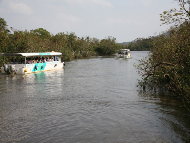
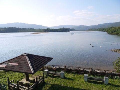
Nakama river flows through the east side of Iriomote and is proud of about 12 km long,
a scale of basin area of 32.3 square km, and is a representative river of Iriomote island.
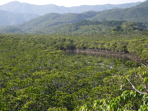
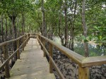
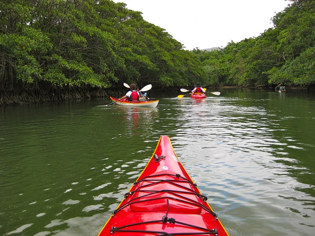
Magnificent mangrove forest grows in the basin for 5 km from the river mouth of the Nakama River,
which is said to be nation’s largest.
Because there are various active tours such as taking sightseeing boat, canoeing, going around the waterfall and hiking,
which is impossible for a personal tour,
it is recommended to enjoy all these by having a team tour.
more
OKINAWA [ Iriomote Island ]
-Sea View
It is a long beach in the south of Iriomote island, most suitable for a beachcombing to pick upthe shellfish of a fragme...
OKINAWA [ Iriomote Island ]
-Sea View -Recreational Facilities
Yubu Island is a small island of neighborhood less than 2 km,and the whole island is the subtropical botanical garden wh...
OKINAWA [ Iriomote Island ]
-Sea View
Omija Road Park is 10 km away to the east of Uehara Port.There is an observatory near the Road Park Parking Lot,where th...
OKINAWA [ Iriomote Island ]
-Mountain View -Outdoor Activities
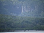
It is a water of the greatest drop (about 55 meters) in Okinawa Prefecture,located at the upper part of the Hinai River,...
OKINAWA [ Iriomote Island ]
-Sea View -Outdoor Activities
Hoshisuna Beach is located at the northern tip of Iriomote Island, where snorkeling is enjoyed easily.Hoshinosuna means ...
OKINAWA [ Iriomote Island ]
-Sea View -Outdoor Activities
Ballase Island is an island of the coral rising and ten minutes away from the Uehara Port by ship,from the surrounding c...
OKINAWA [ Iriomote Island ]
-Sea View
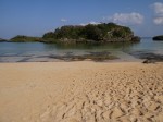
The sand of the beach is so small, there are no stones at all, it is suitable to walk on bare foot.Even at the bottom of...
OKINAWA [ Iriomote Island ]
-Mountain View -Outdoor Activities
The two waterfalls are at the upper side of Urauchi River, the longest river in Okinawa Prefecture.A sightseeing boat is...

