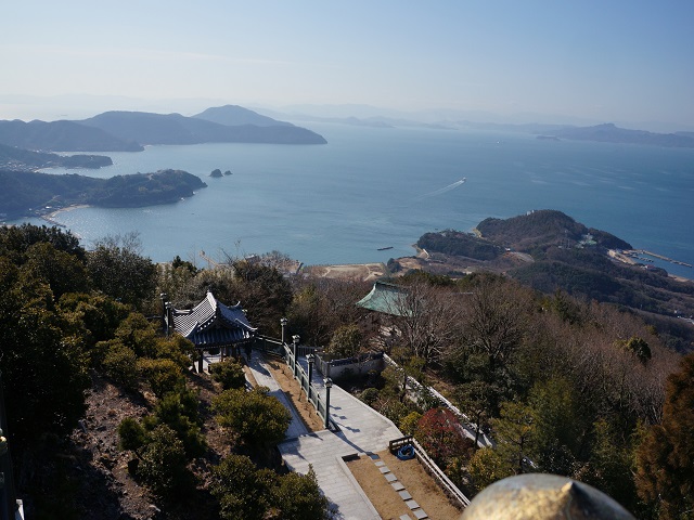
Kankakei ー
寒霞渓
- Mountain View
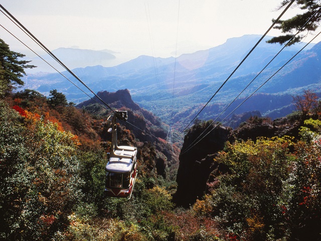
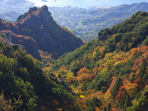
Kankakei is a valley of 7 km long from the east to the west, 4 km long from the north to the south,
located in the central part of Shodoshima Island.
The cliffs and strangely-shaped rocks were formed by the rocks eroded by crustal movement
and by wind and rain repeatedly, accumulated by the volcanic activity 13 million years ago.
It is the splendid highlight even seen from the observatory.
Access and Getting Around
Though a cable car takes you to observatory, a one-hour trail from the top to the bottom is also pleasant.
By bus
15 minutes from Kusakabe Port to Ropeway Station at Kountei with 1 bus per 30 minutes.
By car
35 minutes from Tonosho Port; 35 minutes from Sakate Port.


more
SHIKOKU [ Shodoshima Island ]
-Sea View
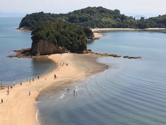
It is a road that appears twice a day from the sea at the time of ebb tide.It is a romantic place where a couple of love...
SHIKOKU [ Shodoshima Island ]
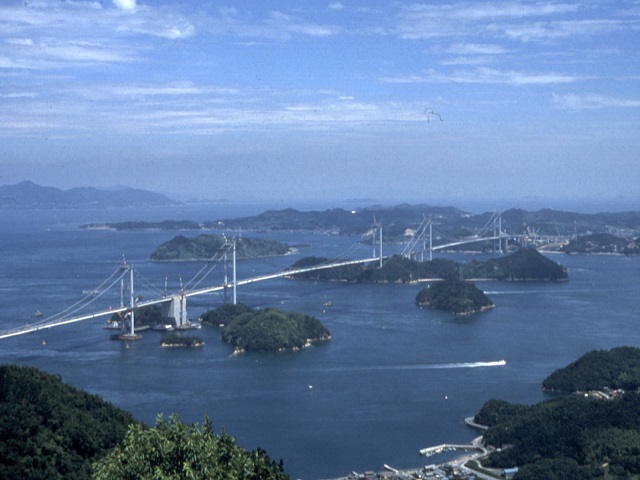
-Specific Nature
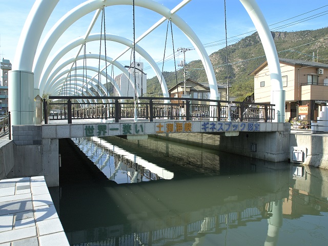
It is a channel between Shodoshima Island and Mae-shima Island of 2.5 km long, 9.93 meters the narrowest partwhich was r...
SHIKOKU [ Shodoshima Island ]
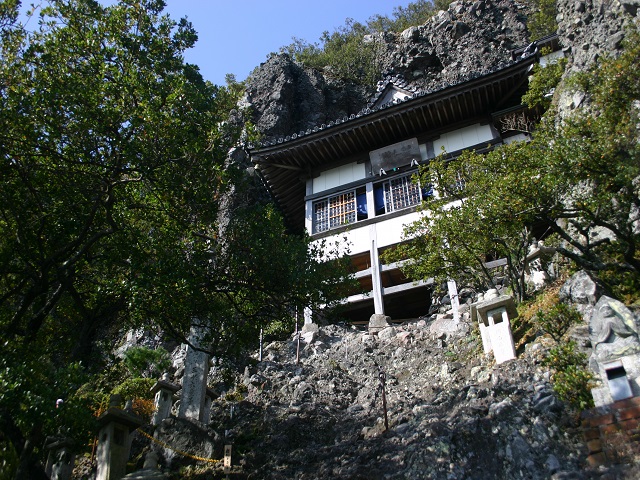
-Temples
Kasagataki-ji Temple is Yamadera which was built to be stuck to the rocky mountain of the cliff locatedin the western mo...
Related Area
-
-
-
Related Category
Accommodation around Shodoshima Island
